GeoFS Optimized for Mobile
GeoFS
- Global multiplayer
- Worldwide (10m resolution) satellite images and elevation model
- Worldwide navigation map with referenced runways and airspace visualization
- ADS-B real-life commercial traffic
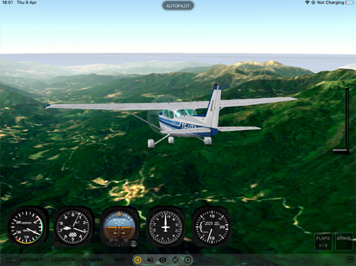
- 11 instrumented aircraft
- Replay mode
- Real-time weather conditions from METAR
- Night time with runway lights
- No ads
- HD imagery subscription as in-app purchase


GeoFS Light (free)
- Playable offline (all data included)
- Scenery covers the french island of Corsica (20000 km² | 8000 square miles) in standard resolution
- Local navigation map with referenced runways and airspace visualization
- Configurable weather conditions
- 3 aircraft available: Cessna 172 Classic, Alphajet PAF and Boeing 737-700 KLM
- Replay mode
- Night time with runway lights